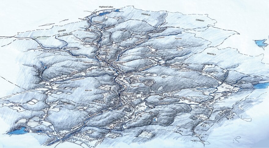
Dodson & Flinker worked with the Town of Williamsburg and an interdisciplinary consulting team, that included Hilltown Land Trust, VHB Engineering, and Pioneer Valley Planning Commission, on a comprehensive, two-year study of the Upper Mill River Watershed, a 29.1-square-mile area that drains most of Williamsburg and small portions of neighboring towns.
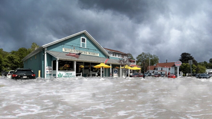
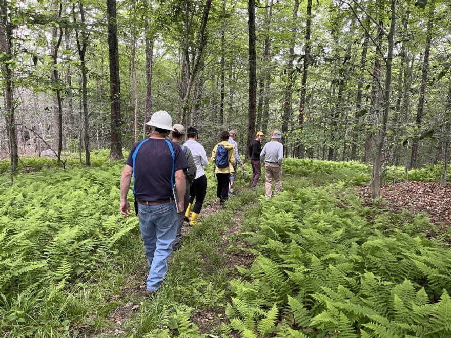
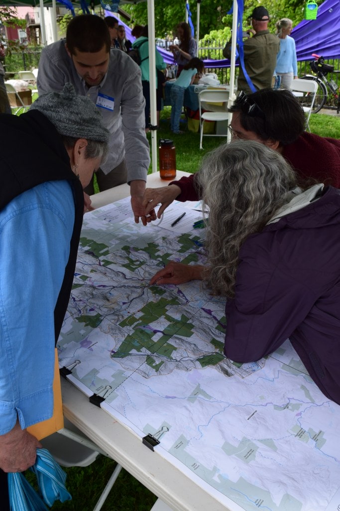
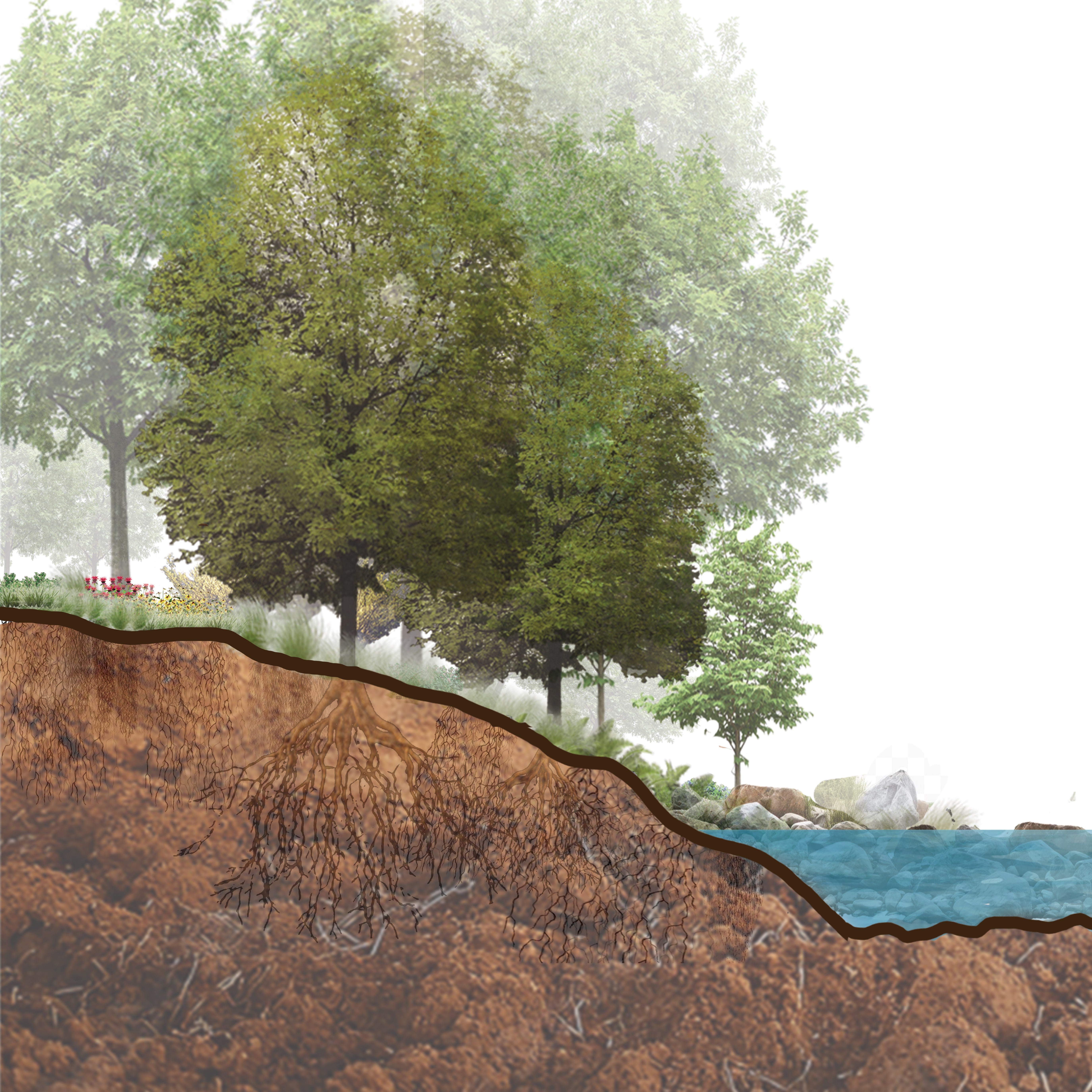
We conducted public meetings and community surveys to understand townwide flood impacts from recent severe storms. We assessed the watershed’s existing conditions to identify where conservation and restoration efforts would be best to reduce flooding, and where future growth would be out of harm’s way. We coordinated land walks with landowners to explore challenges and opportunties for implementing flood resilient land management in upland areas. We worked closely with the MVP and consulting team to share with the community what we’d learned about Williamsburg’s flood vulnerability in a series of public events and in a final report, Resilient Williamsburg: An Action Plan for the Mill River Watershed (June 2025). The report synthesizes a broad set of flood mitigation actions, including major engineered flood solutions, regulatory updates, stormwater managment on town roads, floodplain and riparian restoration, and tailored upland land management practices to enhance flood resilience across the watershed.