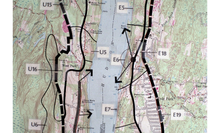
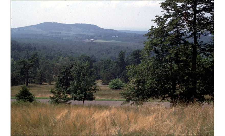
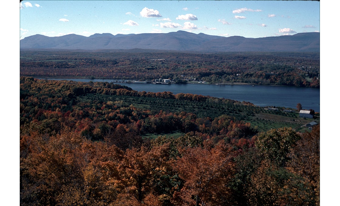
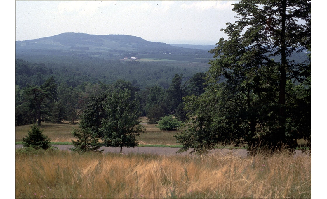
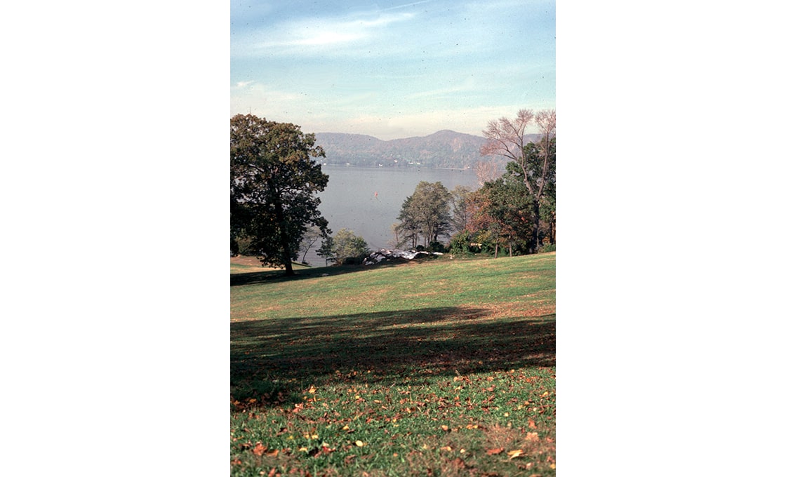
Having developed a state-wide scenic assessment methodology for the New York Coastal Management Program, Dodson & Flinker went on to apply the methodology on a pilot project in the Hudson River Valley. The study area stretched from Troy to Manhattan and New York Harbor. It extended up to several miles inland from the river and included such notable regions as the Hudson River Highlands and the Estate District. A wide variety of visual landscapes were studied ranging from rural farm and forest lands to small cities and towns to the Manhattan skyline.
The entire region was carefully mapped and divided into visual landscape districts. Extensive polling of public opinion was conducted to determine attitudes and visual values. The results of the poll were incorporated into the scenic assessment method to ensure its legal defensibility. The rating system was applied to all visual landscape districts with the highest scoring districts qualifying for possible designation as Scenic Areas of Statewide Significance (SASS). Formal hearings were then held and final SASS designations completed. Large areas of the Hudson River Valley are now protected from visually damaging activities by SASS designation, administered by the State of New York under legislation enacted in the early 1970s. Dodson & Flinker also developed site planning and design guidelines for the SASS districts to ensure that future development respects and protects the scenic heritage of this unique region.